Media Partners
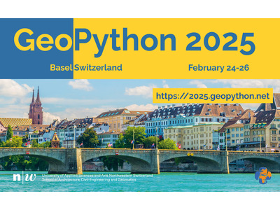
GeoPython 2025
From February 24-26, 2025, we will gather in Basel, Switzerland, to explore the fascinating fusion of Python programming and the boundless world of Geo. The conference is focused on Python and Geo, its toolkits, and applications. GeoPython 2025 will be the continuation of the yearly conference series, which started in 2016 and is now in its 10th edition.
February 2025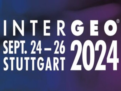
Intergeo 2024
INTERGEO EXPO and CONFERENCE has come to a successful close after three days in Berlin. The leading international trade fair for geodesy, geoinformation and land management presented itself as a magnet for the international geospatial community and for the diverse application areas of geodata-based solutions.
September 2024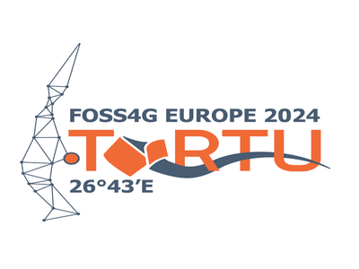
FOSS4G EUROPE 2024
The FOSS4GE conference, a European extension of the Open Source Geospatial Foundation (OSGeo) annual event, connects professionals in the geoinformation software realm. OSGeo, as an international association, emphasizes geoinformatics, cartography, and open standards, fostering data sharing, collaboration, and innovative problem-solving across various domains.
July 2024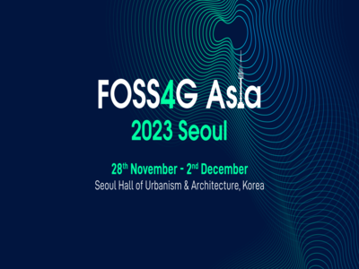
FOSS4G Asia
Geoinformatics technologies help us to manage, assess and present spatial information on natural resources, environment and habitat. They provide valuable tools for national development planning, resource management and disaster mitigation. Many Geoinformatics techniques now provide vital support for sustainable development. Over the last few decades, Free and Open Source Software (FOSS) has grown tremendously in scope and popularity.
December 2023
FOSS4G
Organized by OSGeo and with more than 15 years of experience, this international annual gathering of location enthusiasts is the largest global gathering for geospatial software.
FOSS4G brings together developers, users, decision-makers and observers from a broad spectrum of organizations and fields of operation. Through six days of workshops, presentations, discussions, and cooperation, FOSS4G participants create effective and relevant geospatial products, standards, and protocols.